The app
Pull it up in the parking lot
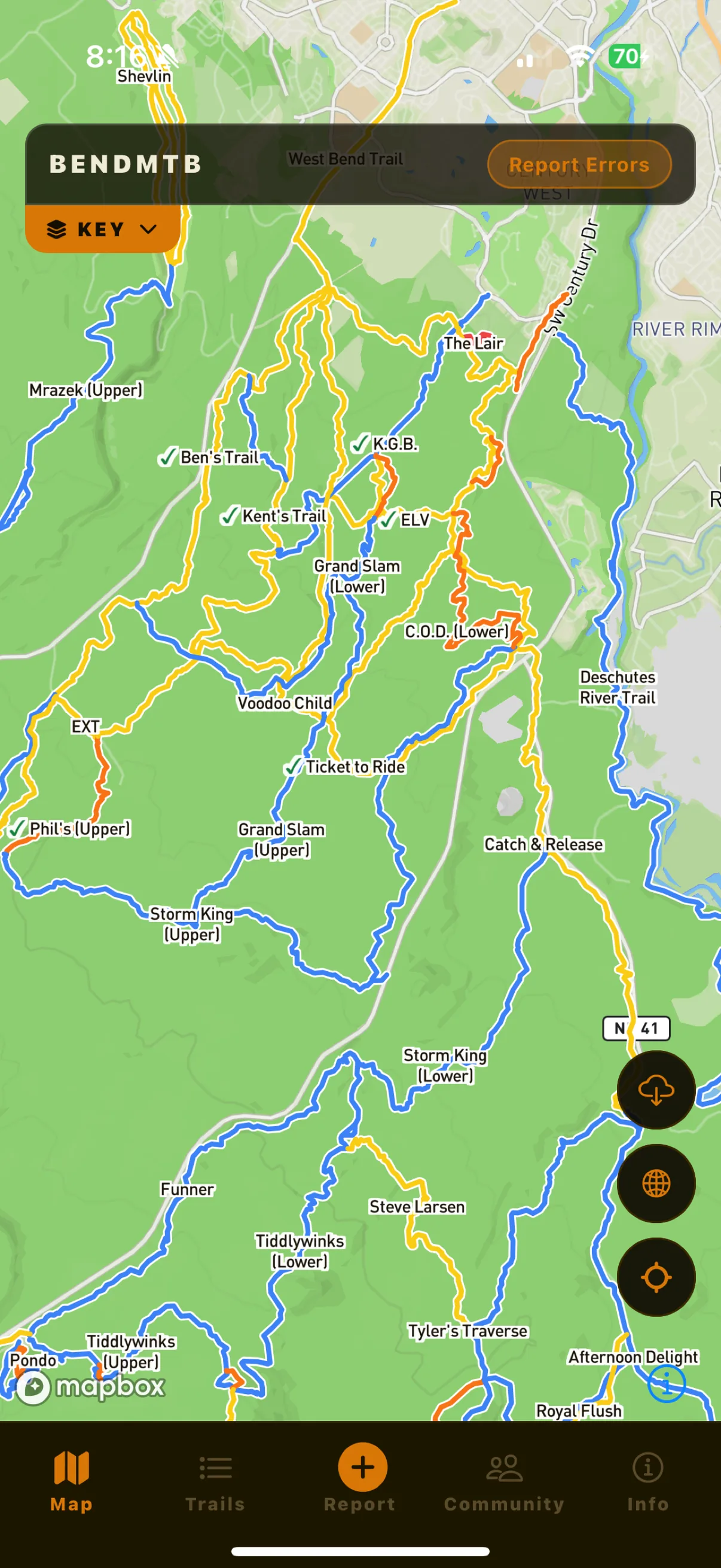
Live map
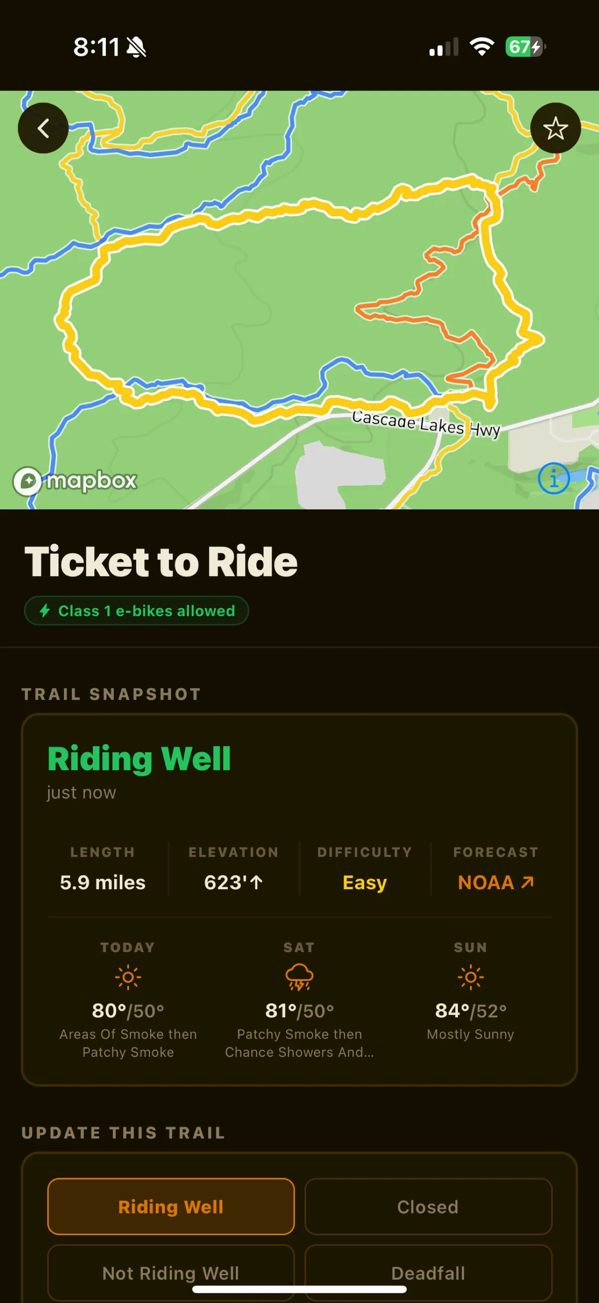
Trail detail
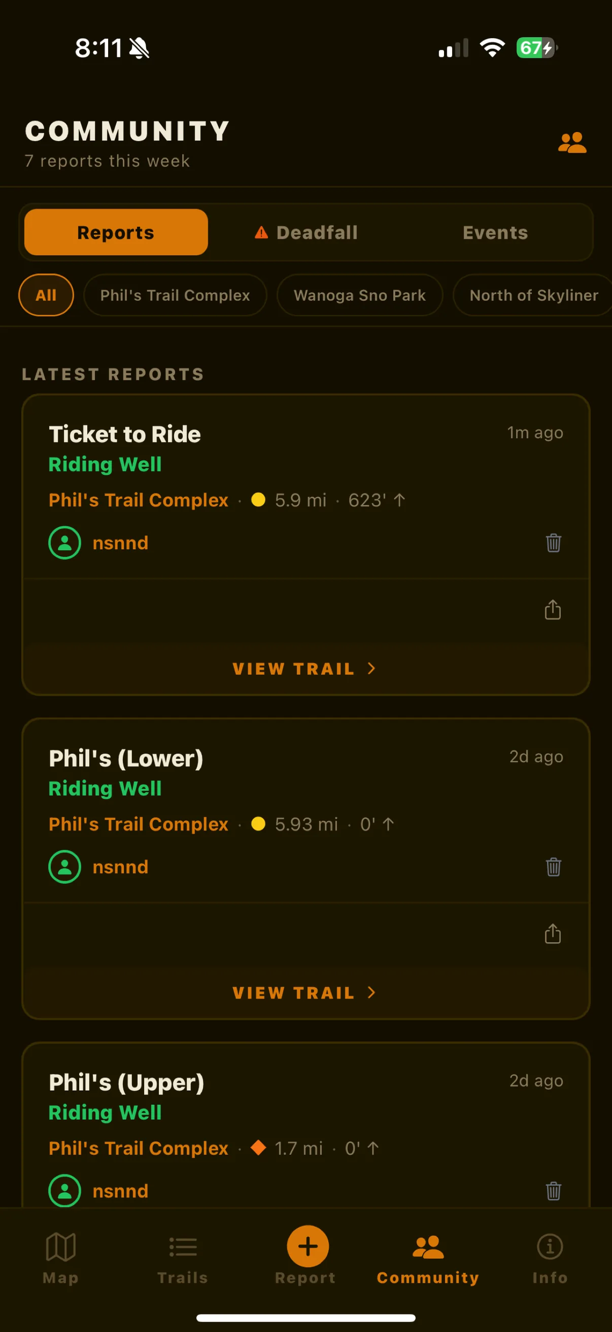
Community
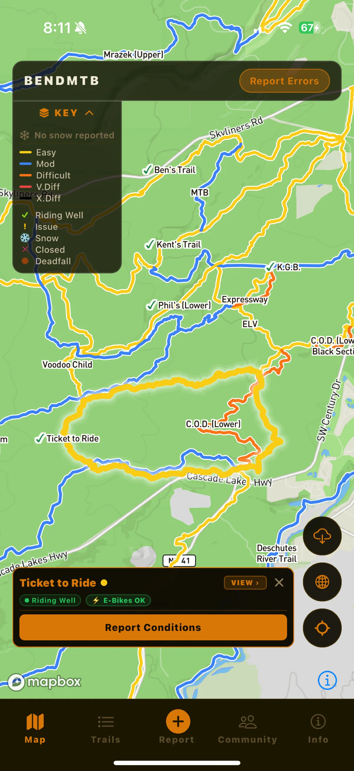
Report conditions
Live conditions and maps for nearly 400 trails around Bend. Check it before you leave the parking lot.
Download on the App Store
Nearly 400 trails with route lines and difficulty colors, from the Phil's complex out to Oakridge and Waldo. Not just the popular stuff.
Save any area to your phone before you leave pavement. The trail network and your GPS dot both still work at zero bars.
An actual condition for every trail, not a difficulty rating that never changes.
Every downed log gets dropped as a GPS pin. See exactly where the hike-a-bike is before you're standing over it.
As conditions come in, the app estimates where snow starts, so you know before driving 30 minutes up to Wanoga to find a foot of it.
Tap the trail, pick the condition, done. Ten seconds, and the next rider knows what you just hit.
Free, no account needed. On the App Store now.
Download on the App Store